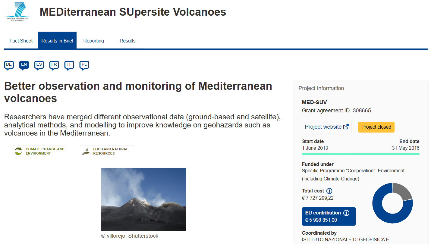
Featured Image: Project MED-SUV: Monitoring Volcanic Hazards in the Densely Populated Mediterranean
Project Name: MED-SUV (MEDiterranean SUpersite Volcanoes)
Source: EU CORDIS Project Website
More than three million people live directly in the shadow of southern Italy’s most active volcanoes: Mount Etna, Vesuvius, and the sprawling Campi Flegrei caldera. The metropolitan area of Naples alone features a population density greater than 2,600 inhabitants per square kilometer. If a massive explosive event were to occur, a 10-to-30 kilometer-high volcanic column would scatter ash clouds across international airspace while devastating pyroclastic flows threatened local communities.
To optimize safety and advance our predictive capabilities, the European Union funded MED-SUV (MEDiterranean SUpersite Volcanoes) under the Seventh Framework Programme (FP7). Led by Italy’s National Institute of Geophysics and Volcanology (INGV) and comprising a 24-partner international consortium, this initiative unified advanced satellite radar eyes with deep underground ground sensors to establish a next-generation geohazard observation network.
Project Scope: Open Conduits vs. Hidden Calderas
The structural scope of MED-SUV focused on creating a dual operational framework to address two fundamentally different types of volcanic plumbing systems:
- Open Conduit Systems (Mount Etna): Characterized by frequent eruptions, lava fountains, and consistent, visible venting. Here, the focus lay on tracking continuous material transport and estimating changing hazard zones in real time.
- Closed Conduit / Caldera Systems (Vesuvius & Campi Flegrei): These systems experience prolonged periods of quiet punctuated by high-explosive eruptions. Because their ground structures can slowly swell or drop over decades without a sudden breakout, tracking subterranean magma accumulation requires highly sensitive baseline instruments.
By combining long-term in-situ monitoring datasets with spaceborne Earth Observation (EO) telemetry, MED-SUV created a unified model capable of picking apart pre-, syn-, and post-eruptive behaviors.
Key Deliverables: The Interoperable Supersite Architecture
Over its lifespan, the MED-SUV consortium delivered a series of breakthroughs designed to bridge the gap between academic research, industrial innovation, and emergency civil response:
1. Unified Interoperability Data Hub
Historically, different scientific organizations archived data in isolated formats. MED-SUV solved this by creating a three-layer digital e-infrastructure. The core tier serves as a mediator that harmonizes messy, heterogeneous sensor streams into a single, accessible hub. This architecture aligns completely with the global principles of the Group on Earth Observations (GEO/GEOSS).
2. Deep Borehole 3D Strain Monitoring
The project pioneered the installation of highly specialized borehole strainmeters capable of tracking microscopic rock deformations deep inside the volcanic structures. These instruments capture structural stress changes down to parts-per-billion scales, identifying subsurface pressure shifts long before traditional seismometers detect fracturing rock.
3. Automated InSAR Baseline Mapping
By integrating automated pipelines with European satellite radar missions (such as Sentinel-1), the project turned surface deformation tracking into a routine asset. Land displacement maps—historically generated manually after long intervals—could now be generated continuously, letting scientists watch calderas breathe from space.
Field Reporting: Watching Campi Flegrei Breathe
The real-world importance of the MED-SUV architecture has become increasingly apparent during ongoing phases of unrest at the Campi Flegrei caldera. For decades, the ground beneath the city of Pozzuoli has undergone cyclical episodes of inflation and deflation (a phenomenon known as bradyseism).
Project Insight: By cross-validating space-based radar interferometry maps directly against internal 3D borehole strain gauges, MED-SUV researchers demonstrated that surface swelling isn’t just driven by hydrothermal water boiling—it tracks real magma pressure variations moving at shallow crustal depths.
This integrated approach means civil defense organizations no longer have to rely on guesswork. Emergency managers can cross-reference surface deformation shapes with internal gas chemistry to determine whether a volcanic region is experiencing a standard thermal cycle or preparing for a serious systemic breakdown.
Volcano Supersite Risk Assessment Matrix
To explore how volcanologists use combined satellite and borehole telemetry to classify danger profiles across open and closed conduits, try adjusting the sensor variables in the interactive simulation model below.