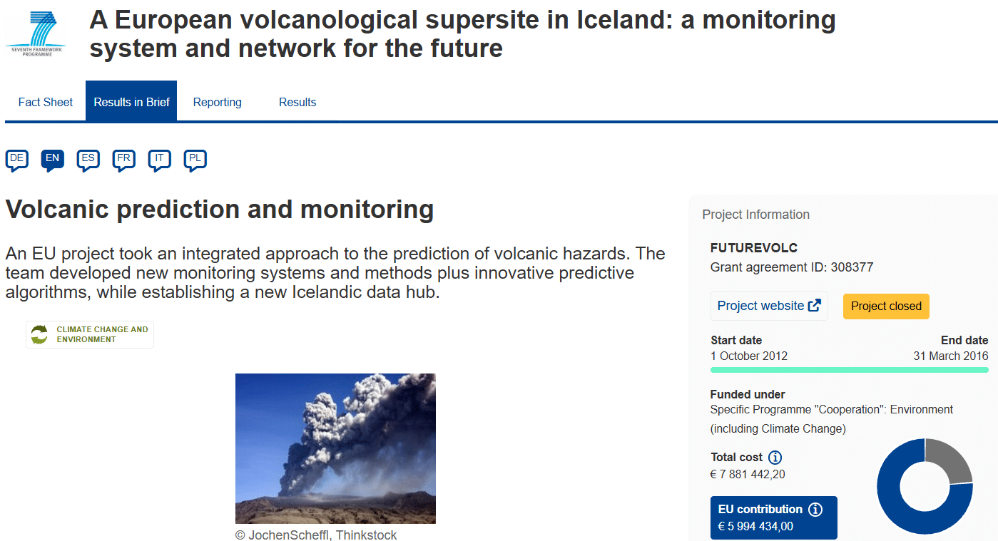
Featured Image: Project FUTUREVOLC: A European Volcanological Supersite in Iceland
Project Name: FUTUREVOLC (A European volcanological supersite in Iceland: a monitoring system and network for the future)
Source: EU CORDIS Project Website
When the subglacial volcano Eyjafjallajökull erupted in Iceland in April 2010, the massive, grounding cloud of fine silicate ash didn’t just disrupt local life—it paralyzed European airspace for weeks, grounding over 100,000 flights and costing the global economy billions. The crisis exposed a glaring vulnerability: Europe lacked a unified, real-time framework to monitor trans-boundary volcanic hazards.
To bridge this gap, the European Union funded FUTUREVOLC, a massive collaborative initiative under the Seventh Framework Programme (FP7). Bringing together 26 partners across academia, civil protection, and industry, the project set out to establish Iceland as a permanent, open-access “volcanological supersite” by linking advanced space observations with newly deployed ground networks.
Project Scope: Constructing a Digital Geohazard Shield
The fundamental goal of FUTUREVOLC was to shift volcanic hazard tracking from reactive emergency response to proactive, multi-parameter tracking. Rather than watching individual signals in isolation, the project’s scope aimed to blend space-based satellite telemetry with high-density ground station arrays across Iceland’s most volatile active zones.
The research pipeline focused on four core targets:
- Magma Tracking: Locating underground magma movements before they reach the surface by tracking real-time seismic ripples and subtle ground swelling (deformation).
- Eruption Physics: Calculating the exact mass eruption rate (how much ash and rock is being thrown into the sky per second) during active explosive phases.
- Plume Dispersion: Tracking atmospheric ash clouds and sulfur dioxide footprints using multi-spectral satellite imagery and specialized radars.
- Unified Data Flow: Establishing an open-data policy to ensure that critical geohazard metrics flow instantly from rural field stations to international civil protection and aviation authorities.
Key Deliverables: The Infrastructure of the Future
Over its three-and-a-half-year duration, the FUTUREVOLC consortium delivered a powerful suite of structural and technological innovations:
1. The “Icelandic Volcanoes” Data Hub
The project launched an interactive open-access data hub containing an exhaustive, public catalogue of Iceland’s 32 active volcanic systems. The platform combines historical geological histories with real-time sensor streams, setting an international standard for open geosciences.
2. Multi-Sensor Ground Networks
The project financed and deployed an array of specialized instrumentation built to withstand harsh Arctic weather:
- Seismometers to track micro-earthquakes caused by cracking rock as magma forces its way upward.
- MultiGAS and DOAS instruments to analyze changes in volcanic gas compositions ($CO_2/SO_2$ ratios often spike right before an eruption).
- Infrasound Arrays & In-situ Radars to detect low-frequency sound waves generated by explosive venting, enabling immediate automated alerts when a plume breaches the atmosphere.
3. Rapid Ash Sampling and Mass Eruption Rate Models
The team developed automated ash-fall samplers and next-generation analytical algorithms. In the event of an explosive column, these tools estimate the mass discharge rate within minutes, allowing meteorologists to accurately model exactly where the ash will drift.
Field Reporting: Live-Testing at Bárðarbunga
In a rare twist for a geohazard project, the system was given a baptism by fire. Mid-way through the initiative, the Bárðarbunga volcanic system woke up, triggering a massive, six-month-long effusive lava eruption at Holuhraun (August 2014 – February 2015).
The FUTUREVOLC team utilized this active crisis to field-test their brand-new infrastructure under real-world conditions:
Operational Impact: Automated seismic noise algorithms mapped a 3D seismic velocity structure in real time, accurately tracing the underground migration of magma over a distance of dozens of kilometers before it broke out at the surface.
Simultaneously, the integration of the Aviation Colour Code alert scheme and standardized, daily joint factsheets compiled by the Icelandic Meteorological Office (IMO) and Civil Protection enabled European air traffic control to act with unprecedented clarity, preventing a repeat of the widespread groundings of 2010.
Volcanic Supersite Monitoring Dashboard
To explore how volcanologists evaluate underground unrest and assess the likelihood of an eruption by cross-referencing multi-sensor networks, try adjusting the sensor variables in the interactive simulation model below.